George Winterling: Forecasting Dora's landfall

In late August 1964, hurricane warnings were posted by the U.S. Weather Bureau for the Florida East Coast for Hurricane Cleo, which struck Miami with 135 mph winds on August 27.

The hurricane weakened as it moved up the peninsula. By the time Cleo passed over Jacksonville Beach, it was only a tropical storm with peak wind gusts only 50 mph. With three months left in the hurricane season, I feared that warnings for a real hurricane threat may not be taken seriously.

On August 31, I pointed out that our greatest danger would be from a full-force hurricane striking our coast from the Atlantic. 
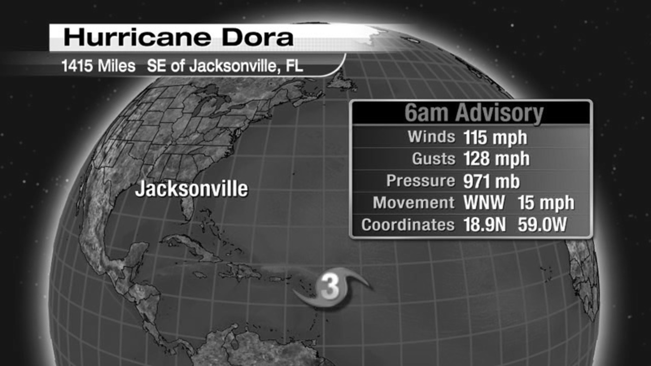
On September 1, tropical storm Dora formed 2,500 miles away in the tropical Atlantic. It became a hurricane the next day, then a major hurricane with 115 mph winds by September 3 and moved on a track toward Bermuda.

Recommended Videos


But on Monday September 7, the storm turned toward westward, toward Cape Canaveral, the location of the Kennedy Space Center. A high pressure system to the north had caused Dora to aim at the central Florida coast. I knew a slight shift northward would send the hurricane directly at the northeast Florida coast. For this reason, I predicted Dora would bring 100 mph winds to the St. Augustine-Jacksonville area as it reached the northeast Florida coast.

On September 9, with Dora's sustained winds 125 mph as it moved erratically toward the coast, our news department was continually updating reports from the beach and inland communities, the Civil Defense and Red Cross offices, area police and fire departments, and the Jacksonville Electric Authority.

WJXT had two power lines from the Jacksonville Electric Authority Southside Generating Station three blocks away. During the afternoon, heavy rains and gale force winds caused much of northeast Florida and the Georgia coast to lose power. When WJXT lost power, we still had telephone service to forward storm reports to the public and radio stations.

It was difficult top track the storm's location on radar. At 1 p.m., gyrations of Dora's eye as it approached the Gulf Stream led the Hurricane Center to report that Dora was centered 65 miles east northeast of St. Augustine moving northwest at 12 mph. We had no radar reports, but depending on barometric pressures along the coast, I told our viewers the storm's true center was aiming at St. Augustine. Eleven hours later, the center of Dora passed over St. Augustine with a storm surge of 13 feet on the shoreline.

Ninety percent of Jacksonville lost power for a week because of downed trees and power lines. This was our first and only strike of a full strength hurricane from the Atlantic.

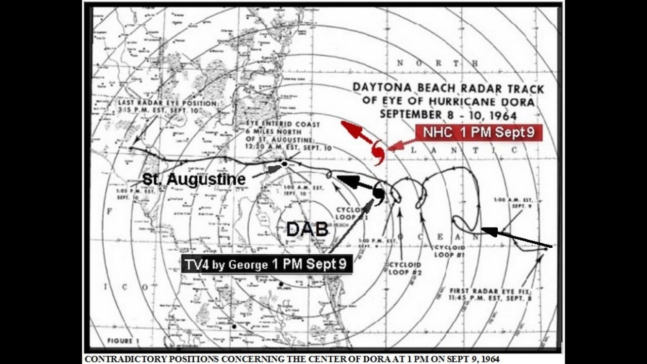
The U.S. Weather Bureau radar map shows the deviation of Dora's eye (black line) towards the north as the storm encountered the Gulf Stream. This probably caused the Hurricane Center to place the center of Dora east northeast of St. Augustine, moving northwest.

I was basing the center of the storm on the falling barometric pressure at Daytona Beach, which turned out to indicate the real motion of the hurricane into St. Augustine.


Recommended Videos